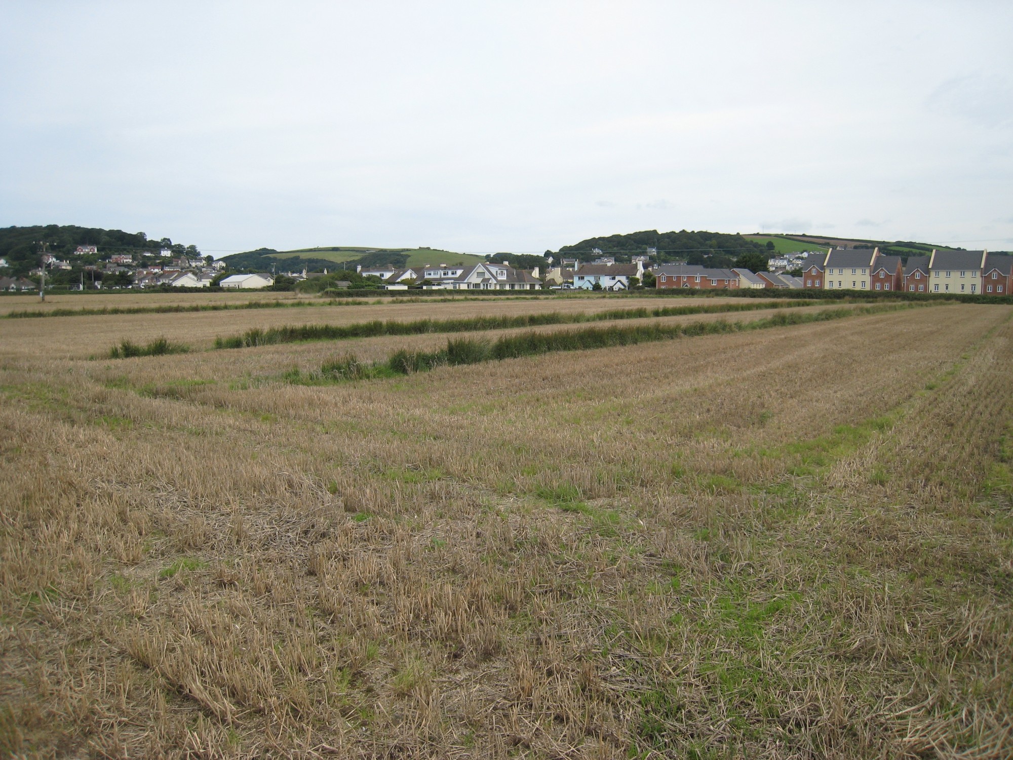
Heading south west along Second Field Lane, it is striking how the landscape suddenly opens out on entering the heart of the Great Field. The winding high hedgebanks so characteristic of many parts of rural Devon were never created here, allowing unrestricted views right across to the distinctive formations of Braunton Burrows, which separate the Great Field from the sea.
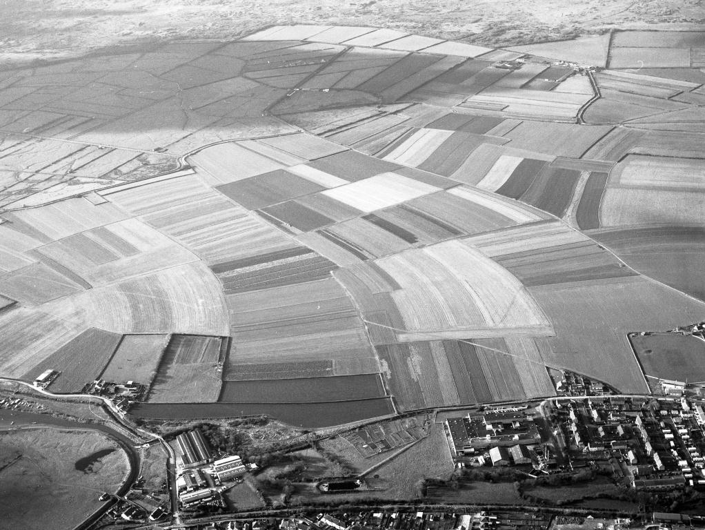
This exceptionally rare medieval landscape is one of only three open strip fields operating on any scale in England. Much of the farmed landscape once consisted of these large areas of several hundred acres, divided into hundreds of unenclosed strips of land, with farmers holding strips in a number of the different furlongs surrounding the village.
Documentary evidence suggests that Braunton Great Field was divided into strips by 1202, and the divisions could date back as far as AD855. The current names of the furlongs at Braunton are instantly recognisable in a fourteenth century document recording land bequeathed to Eleanor, wife of Ralph de Gorges in 1324. Amongst other land, she received 1 acre at ‘La Crofta’, two acres at ‘Myddelforlong’, and half an acre at ‘Longeland’ – names (if not spellings) still in use today.
Some strips retain their medieval dimensions: a quarter acre is 5-6m wide and half acre 11-12m wide (the latter are more numerous). The survival of both names and the open field farming system itself is remarkable, although comparison of modern maps with the 1841 Tithe Map shows significant amalgamation of strips since the nineteenth century. The decline in the number of strips is pronounced: there were 448 strips in 1841, owned by 45 people, but by 1994 only 86 strips remained, farmed by just 10-11 people.
Surrounding and probably contemporary with the Great Field is the Great Hedge, which may have served to protect the land from spring tides (it lies on the limit of the high water mark). Within this boundary, the field is divided into named furlongs, and parts of the public rights of way are sited along the medieval headlands of the stripfields. ‘Landshares’ (unploughed turf balks) separate the strips, and these are extremely rare survivals of the medieval open field farming system. ‘Bondstones’ (large pebbles) marking the ends of rows can also be spotted.
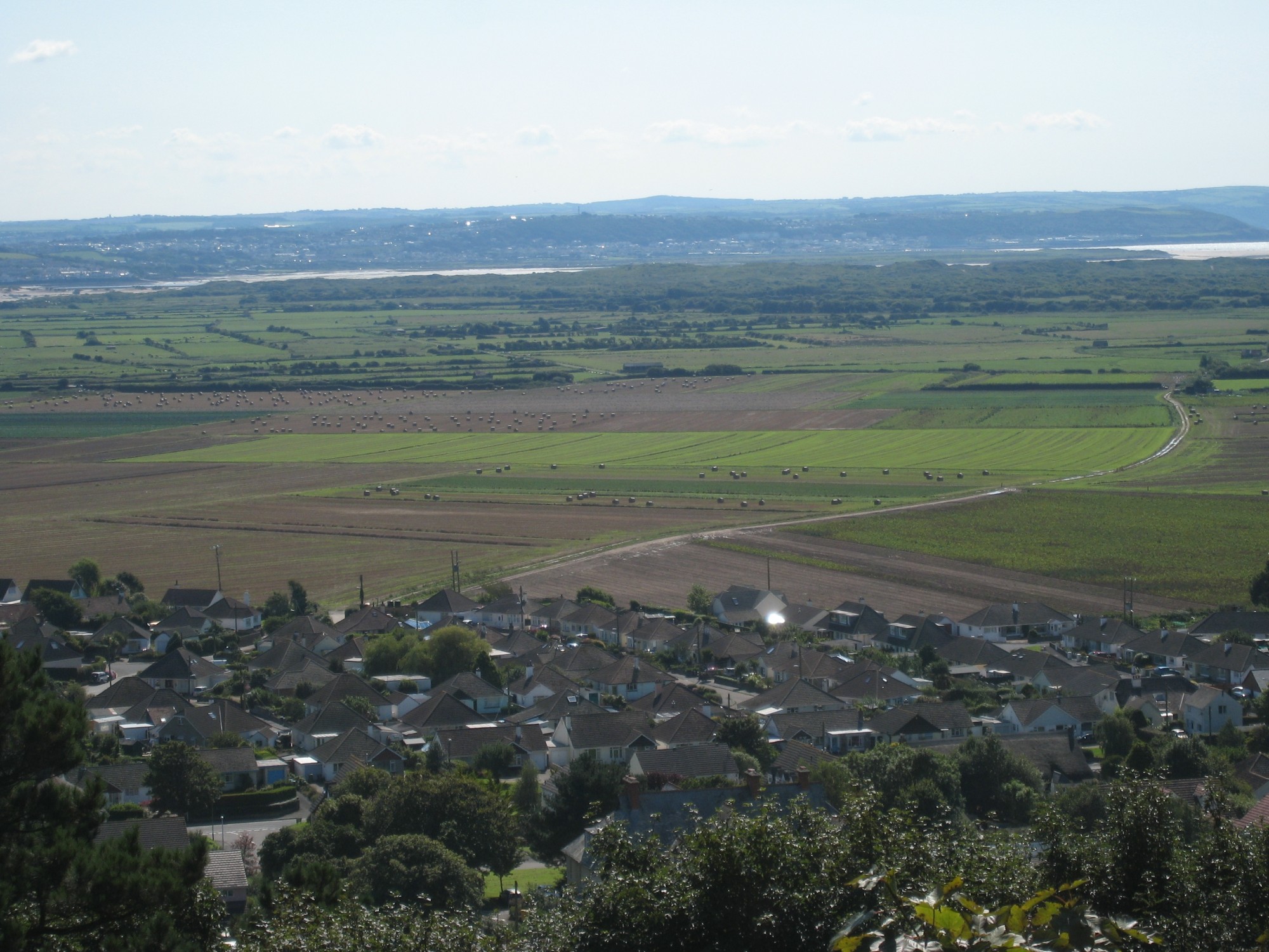
To appreciate the layout of the separately farmed strips and furlongs, a climb up West Hill is rewarded by a good view of the Great Field.
For more information, see the Historic Environment Record information about this site on Heritage Gateway.